By Staff Reporter
ISLAMABAD: The United Nations’ Food and Agriculture Organization is mapping the toll of Pakistan’s monsoon floods on its vital farmlands, using high-resolution satellite imagery and localized crop datasets to pinpoint losses with unprecedented precision.
The survey, ordered by Pakistan’s Ministry of National Food Security and Research, follows floods that killed scores, displaced thousands, and ravaged agriculture, which drives a quarter of the nation’s $350 billion economy and sustains nearly half its 240 million people.
The FAO’s district-by-district breakdown of damaged cropland and crop types, due next week, will guide disaster recovery, the UN Office for the Coordination of Humanitarian Affairs said. “The assessment will provide a district-wise cropland and crop type damage to support planning for disaster response and recovery.”
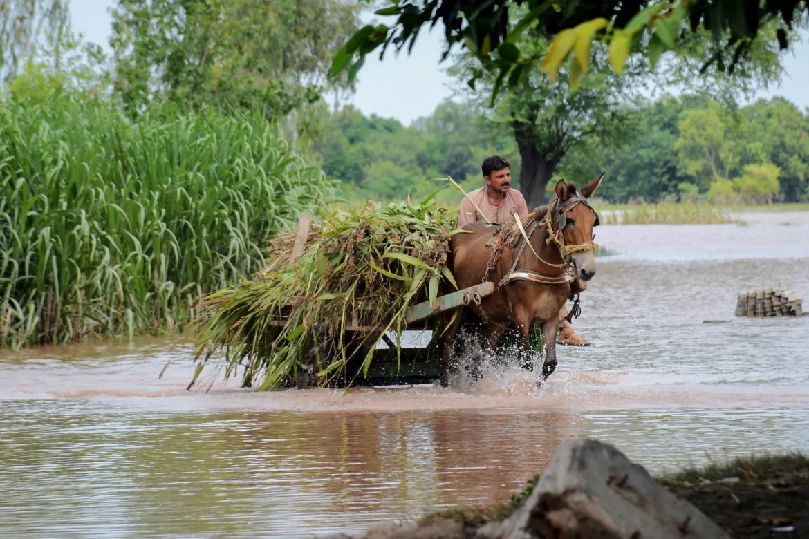
The deluge, rivalling 2022’s $30 billion disaster that wiped out 9 million acres of crops, has hammered Punjab and Khyber Pakhtunkhwa. In Punjab, a Rapid Needs Assessment is nearly complete in Sialkot, Muzaffargarh, Kasur, Multan, Bahawalpur, Chiniot, Narowal, and Jhang, with surveys underway in Okara, Bahawalnagar, Hafizabad, and Gujrat.
The UN Central Emergency Response Fund allocated $5 million last week for water, food, shelter, hygiene kits, mosquito nets, healthcare cash grants, and counseling. The Asia and Pacific Humanitarian Fund added $250,000 for Khyber Pakhtunkhwa NGOs and plans another $500,000 for Punjab relief.
Yet UNOCHA warns of a deepening shortfall. “With many UN agencies and NGOs having nearly exhausted their funds, there is an urgent need for funds to the Pakistan Humanitarian Fund to meet the most critical humanitarian needs,” it said.
Donors have pledged $100 million toward a $400 million appeal, risking delays in seed distribution and irrigation repairs critical to averting a food crisis as winter looms. The FAO’s survey, merging satellite data with Pakistan-specific crop maps, could prove pivotal in targeting aid to safeguard rural livelihoods in South Asia’s sixth-most populous nation.
Copyright © 2021 Independent Pakistan | All rights reserved